Long read, Rivers
The river that learned to flood again
Ten years after the Brekke dam was removed, a Norwegian valley is learning to live with water it spent a century keeping out.

Long read, Rivers
Ten years after the Brekke dam was removed, a Norwegian valley is learning to live with water it spent a century keeping out.
The first thing you notice in Brekke is the silence where the turbines used to be. For ninety-one years a concrete wall held back the river here, and the village grew up in its shadow: a school on the old flood plain, a football pitch where the gravel bars had been, a row of timber houses that had never once seen water at the door.
In the autumn of 2016 the wall came down in eleven weeks. Engineers cut it into blocks the size of cars and trucked them to a quarry upstream. The reservoir drained in a single night, and by morning the valley floor was a grey field of silt, forty years deep, smelling of iron and old leaves.
Removing a dam is not the same as restoring a river. The water board knew that, and so did the ecologists who had lobbied for the removal since the 1990s. What nobody could say with any confidence was what the river would do once it was allowed to choose its own course again.
The early numbers were modest. Sea trout returned within two seasons, and the survey counted spawning redds on stretches that had been dry for most of a century.1 But the river also started to move sideways, eating into banks that farmers had fenced and drained for three generations.
We did not give the river back its water. We gave it back its right to wander.
Hanne Lie has walked the same eight kilometres of riverbank every month since the removal. She carries a notebook, a laser rangefinder and a thermos of coffee so strong it could strip paint. Her maps show a channel that has shifted more than sixty metres in places, braided into three or four threads, then gathered itself back into one.
Rivers have long memories. Within a year of the removal, old channels that appeared on nineteenth-century survey maps began to fill with water again, as if the valley had been keeping them in reserve. Willow and alder seeded themselves along the new edges faster than any planting scheme could have managed.
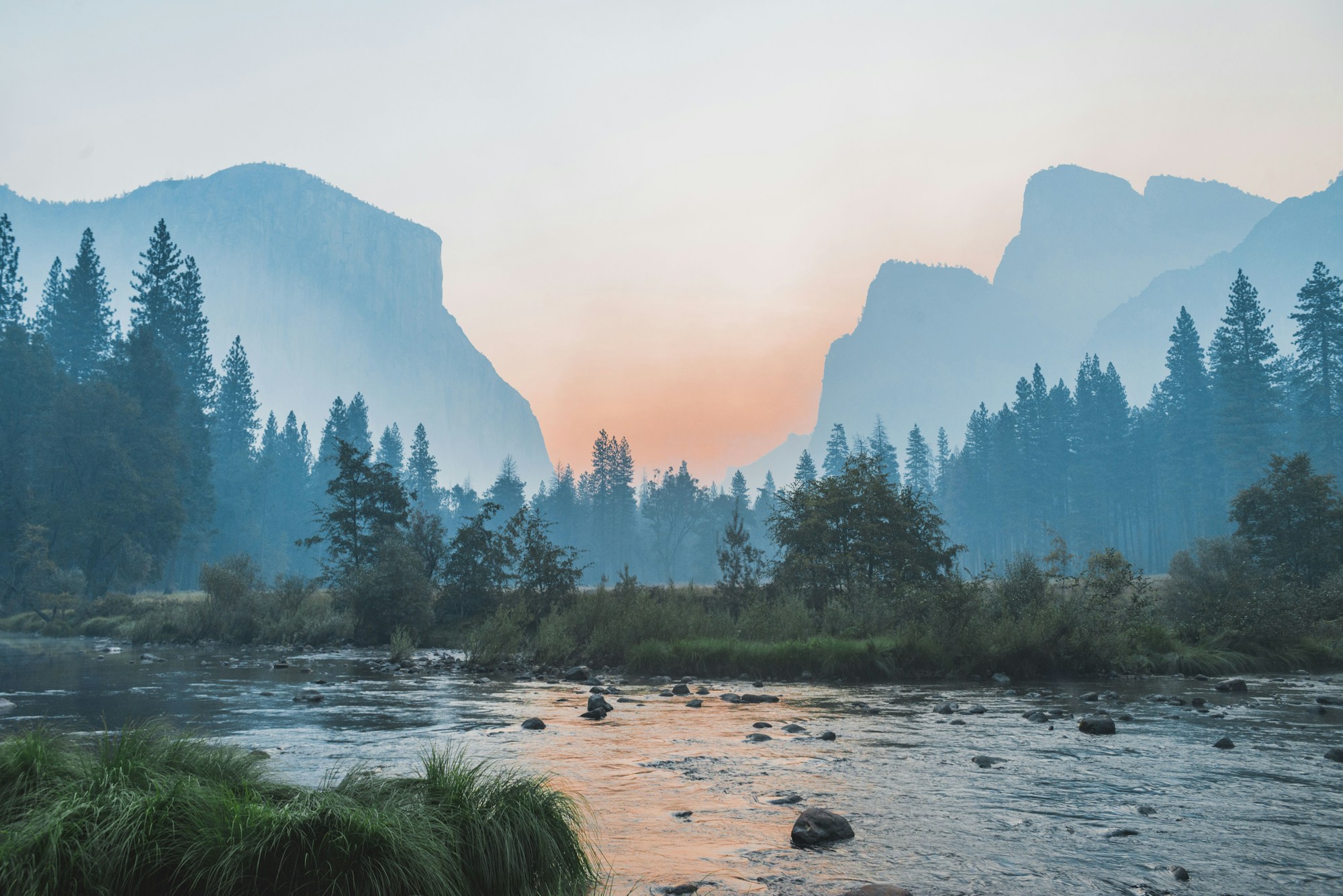
It was not only the ecologists who noticed. Older residents began to remember things they had not thought about in decades: where their grandparents had moored boats, which meadows had been too wet to cut before July, the spring the whole valley turned into a lake for three days.
Ingrid Aasheim farms sheep on the eastern bank. She lost four hectares of grazing in the first two winters and spent most of 2018 in meetings she describes as polite and useless.2 The compensation scheme paid for the land. It did not pay for the fences she moved three times, or for the feeling of watching the edge of her farm fall into the water.
Her objection was never to the river. It was to being asked to carry the cost of a decision taken in an office two hours away. That argument, more than any flood, is what changed how the valley was managed.
Nobody here was against the salmon. We were against being the only ones who paid for them.
In 2019 the water board did something unusual for a public body. It stopped trying to hold the river in place and started designing for the floods instead. The new plan had three parts:
None of it is glamorous. Much of it is paperwork. But the valley now floods on purpose, in the places that can take it, and the people who live there helped draw the lines.
The second hard winter came in 2024. Snowmelt and three days of rain pushed the river higher than anyone had seen since the dam was built. It filled the leased meadows, spread across the old channels and dropped again within a week. No house was flooded.3
Aasheim still grumbles about the fences. Lie still walks her eight kilometres. On a clear evening in September the two of them stood on the new footbridge and counted fish jumping below it. They lost count somewhere after forty.

Maren is a staff writer at Undertow covering rivers, coasts and the people who live beside them. She grew up in Trondheim and reported this story over four years.
More from Maren